MAKING SPATIAL DATA WORK FOR YOU
We at Synopticsense believe that managing land resources is an inherently spatially-explicit undertaking. Be it forests, lakes, agricultural land, or urban areas, strategic decision making for the management of large landscapes is best informed using maps as guidebooks.
We specialize in utilizing aerial and satellite imagery, government data sources, and primary data collection surveys to aid policy formulation and guide development in an environmentally sustainable and holistic manner.
SPATIALLY-EXPLICIT ANALYTICS
We combine airborne and spaceborne imaging, physical surveys, and secondary data analytics, to provide a spatially-explicit view of the land surface for enabling comprehensive decision making for agencies and commercial enterprises.
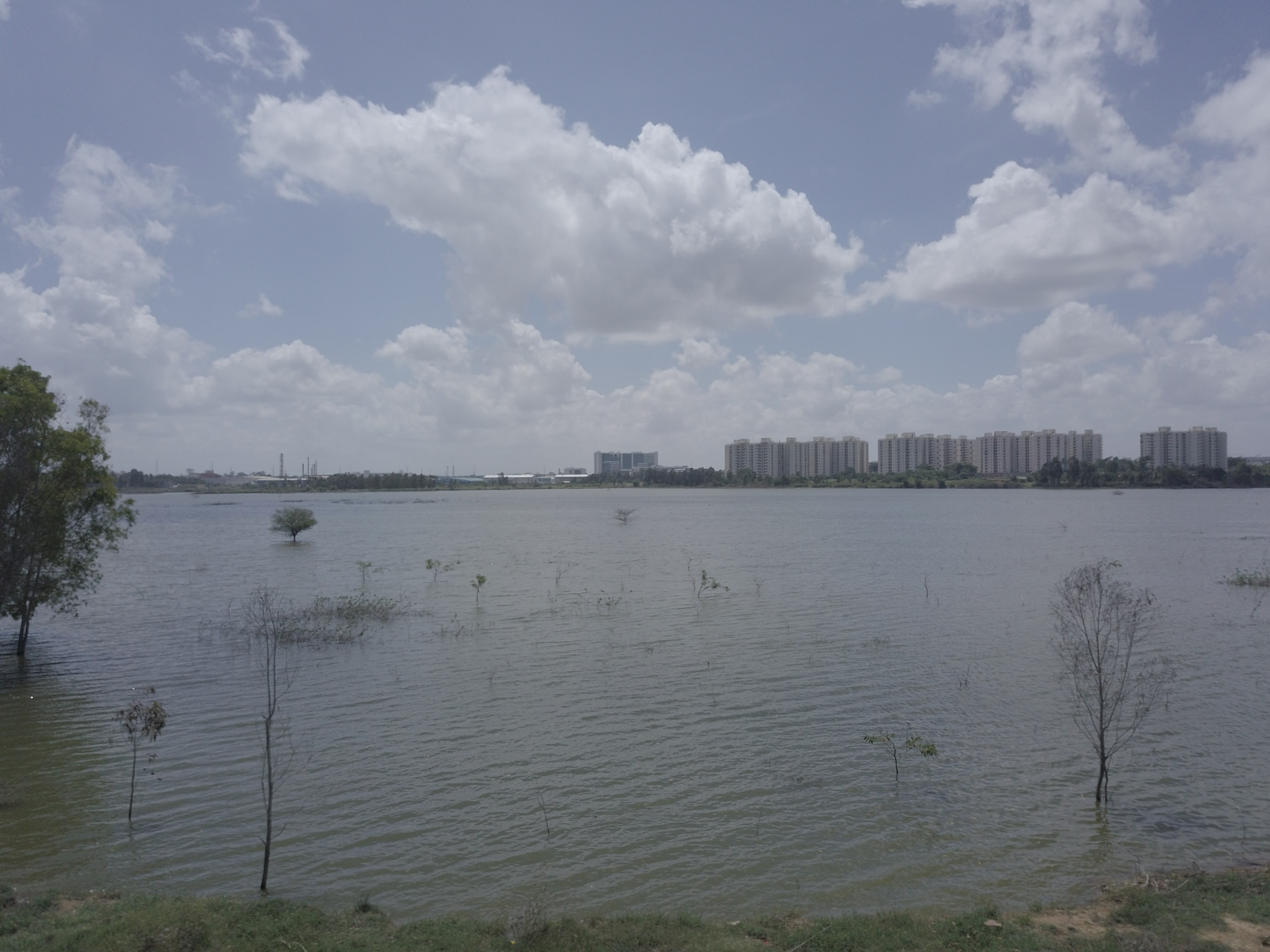
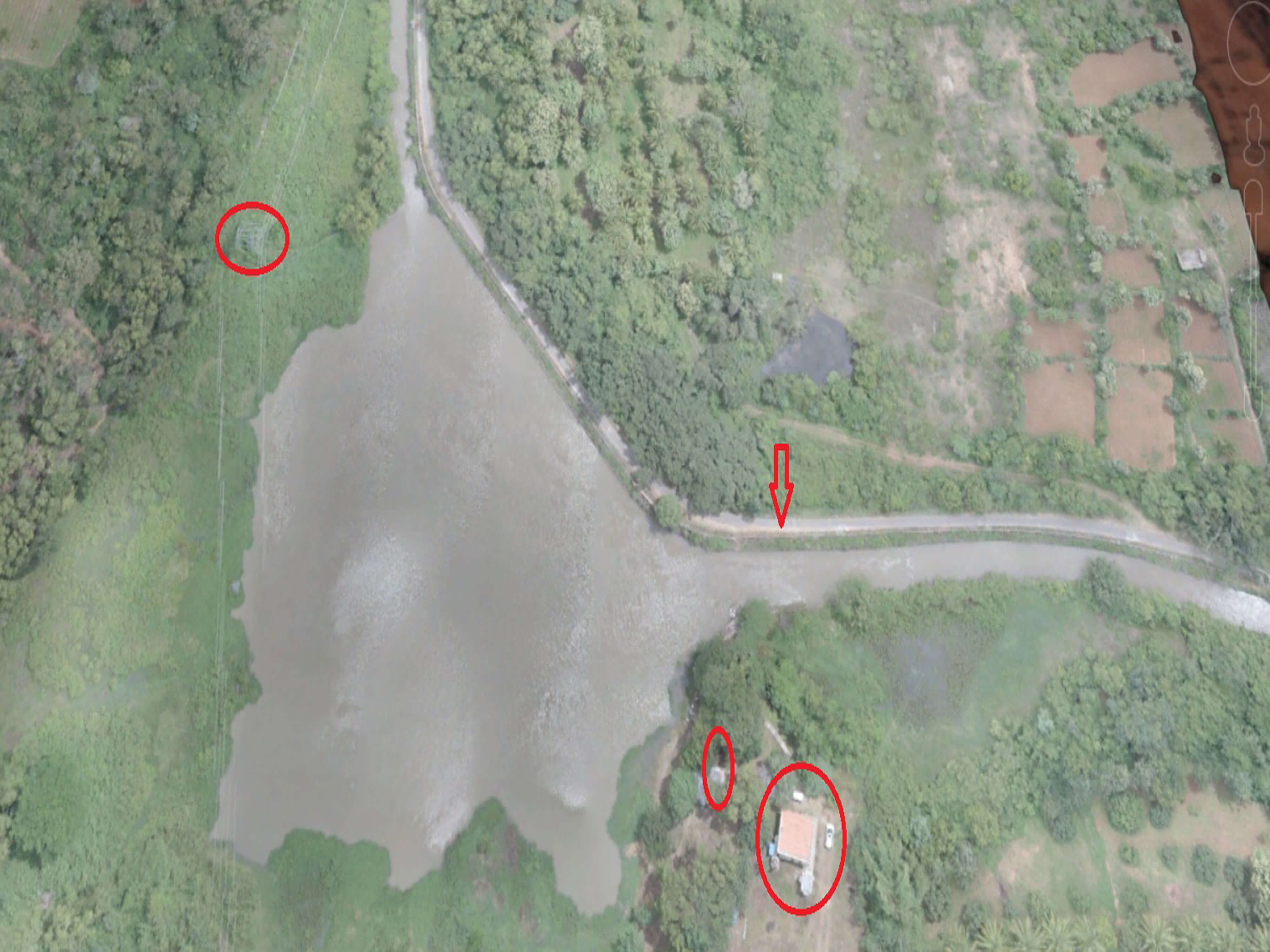
MONITORING OF ASSETS
We help map changes in the land surface for monitoring encroachments on land, mapping forest disturbances such as illegal felling and forest fires, and mapping movable assets such as livestock or vehicles.
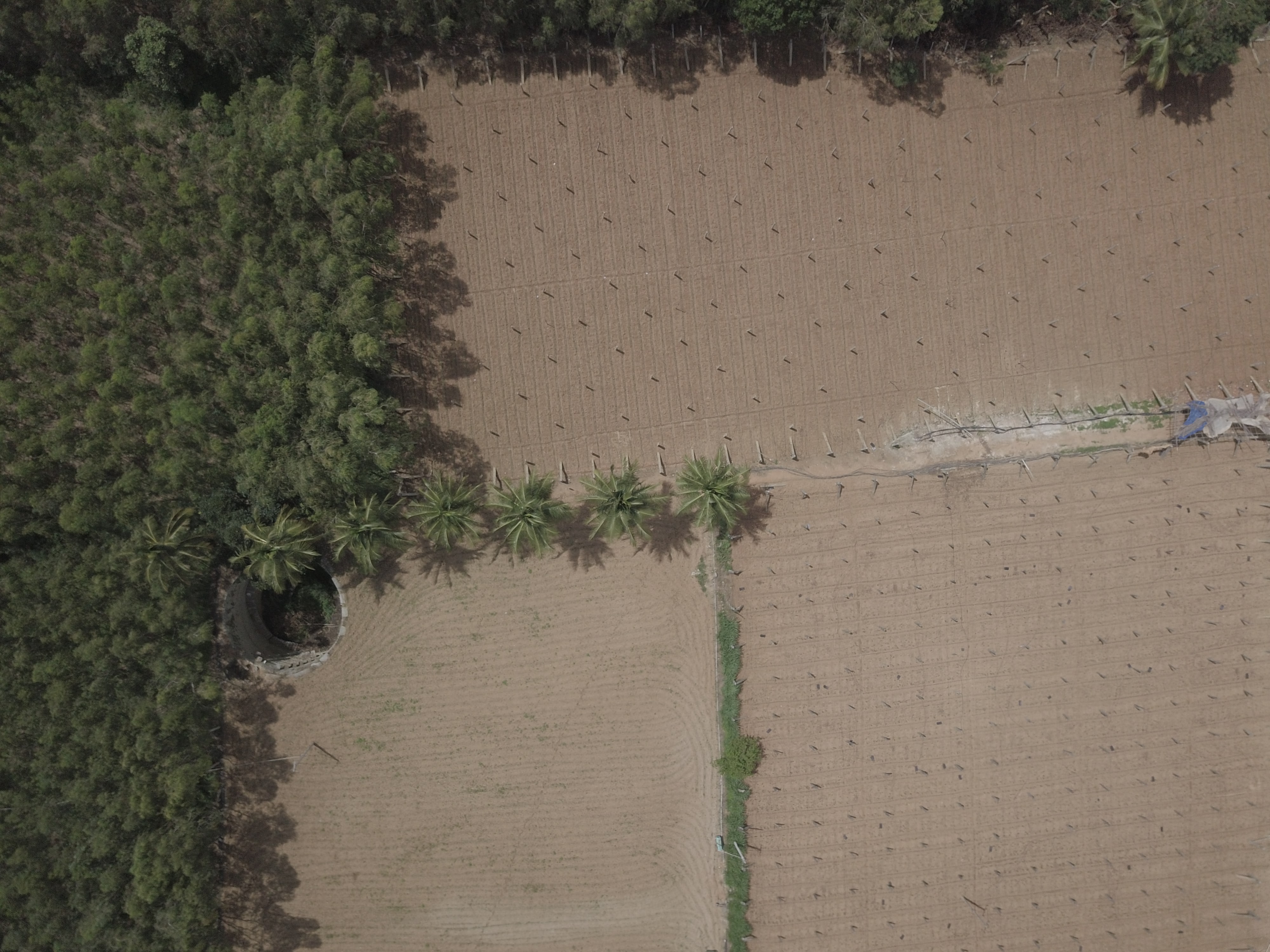
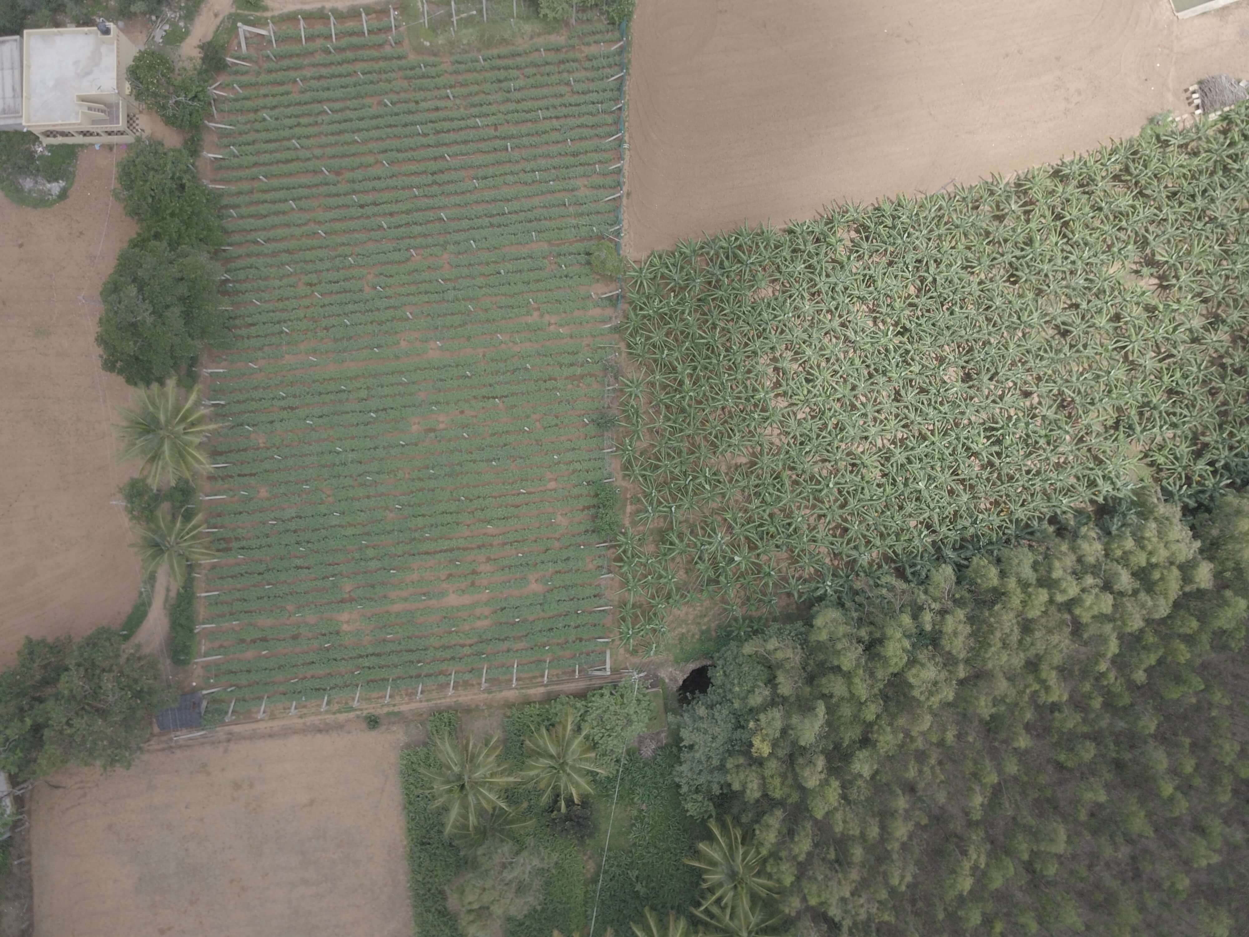
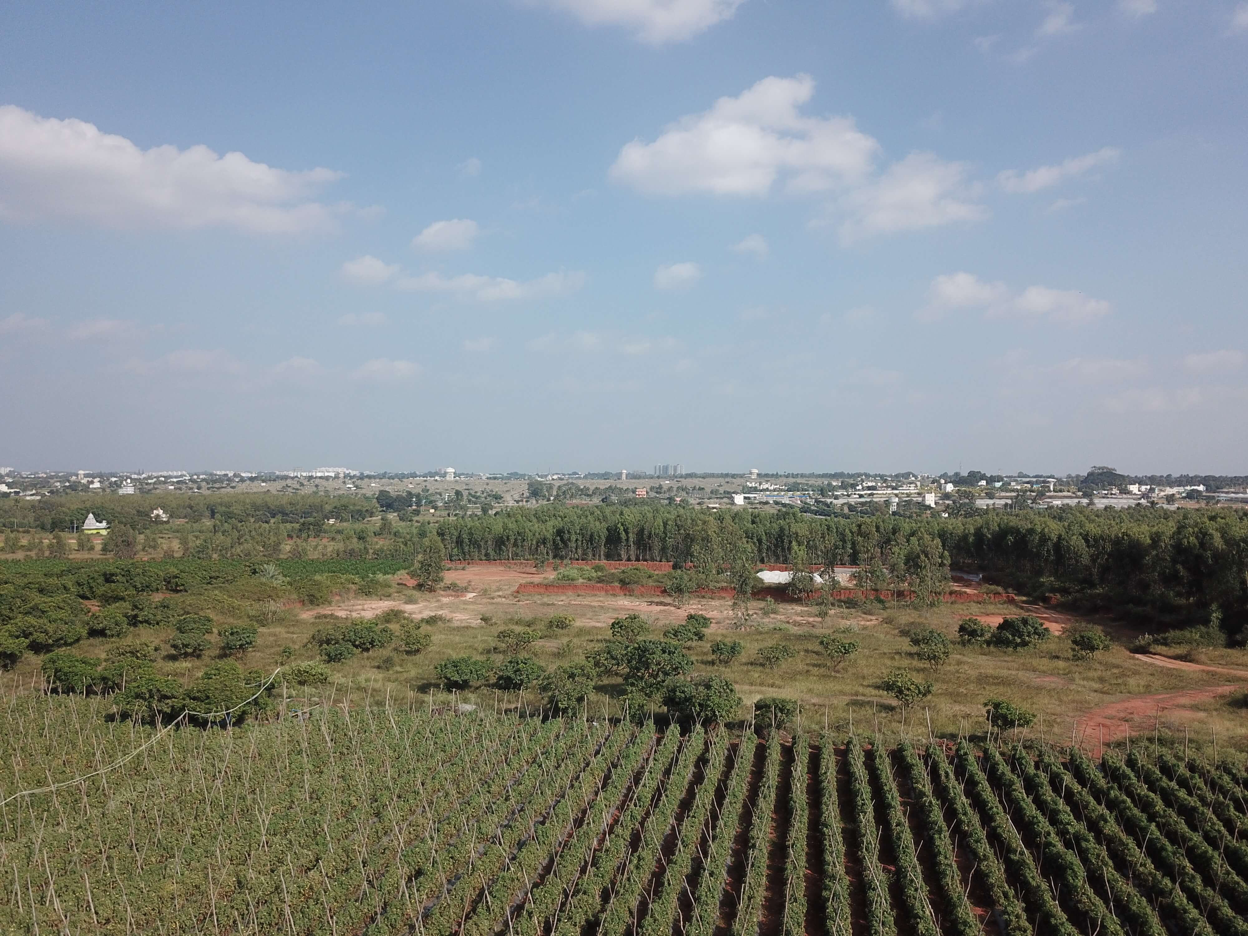
Agriculture
Our products can help monitor changes in crop cover, mapping irrigation, and monitoring crop performance across large regions. We offer scalable solutions by leveraging the best mix of UAS and satellite imagery per the needs of our clients.
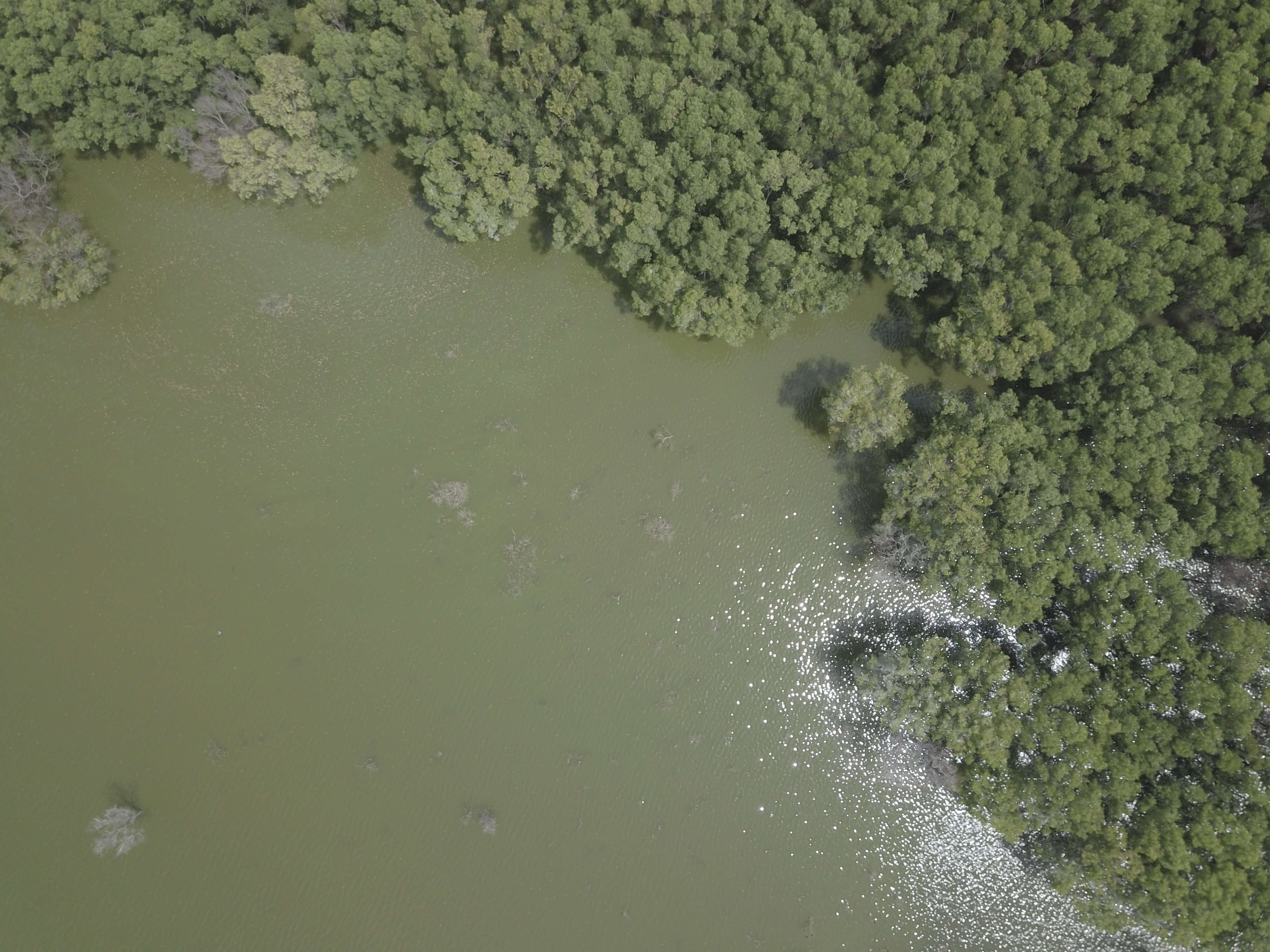
Forestry
We prepare poaching-susceptibility maps and base line maps for national parks and wildlife sanctuaries. We also conduct wildlife habitat suitability surveys for forest management agencies and environmental impact assessments.
UNMANNED AERIAL SYSTEMS
We design, build and operate our own fleet of fixed-wing and multirotor unmanned aerial systems (UAS). Our UASs allow us to build landscape-scale orthomosaics and digital surface models for government agencies, conservation organizations, and commercial enterprises. Fitted with live video downlinks, the UASs can be used for disaster management, active event monitoring, and rapid response situations.
DATA ANALYTICS
We provide rapid turnaround on analytical solutions to projects needing big-data solutions. We have trained statisticians and machine learning personnel on board that can simplify information delivery to both state agencies and industry players.


.jpg)